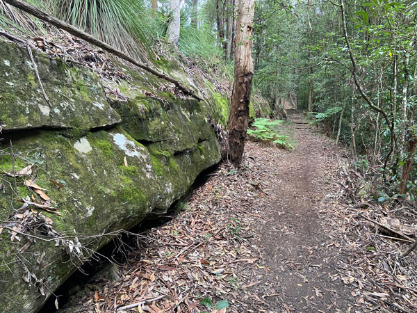
This is a beautiful bush walk located in Cherrybrook. It’s 5.1km and takes approximately 2 hours. It’s more suitable for primary school aged kids, isn’t pram friendly and you can’t take your fur pals.
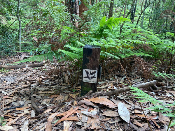
The Callicoma Walk is a medium grade loop track. You can either start at the top near The Lakes of Cherrybrook (across from the Woolworths Service Station) and head through the underpass towards the scout hall or you can start where we do on the corner of Francis Greenway Drive and Macquarie Drive Cherrybrook. There are markers around the track (see final photo on this article) which reassure you that you are on the right track as you go around but based on the comments we have seen on our social media posts, quite a few people have gotten lost doing this walk. Before you go, print out the map, check out the route on google maps before you head off and take a smart phone with you. We keep an eye on google maps during all our bush walks and this walk in particular has a couple of tricky bits.
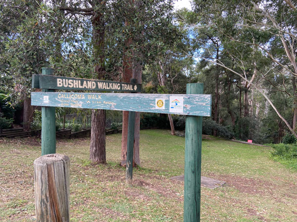
The entry point is well sign posted near the roundabout. You head down into the bush from here. At the bottom of the track turn right and you are on your way if you follow the Callicoma walk markers.
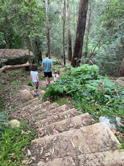
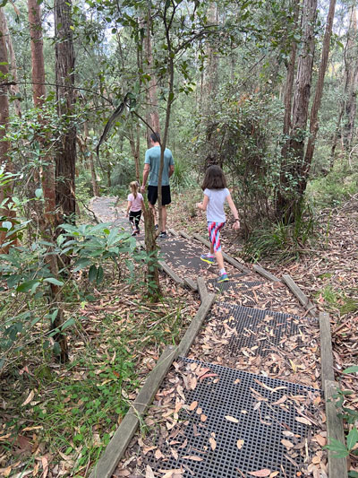
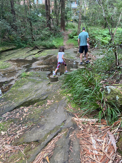
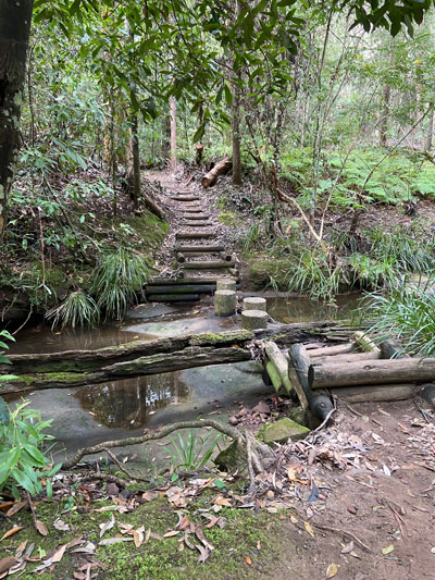
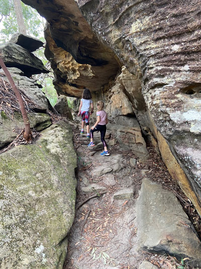
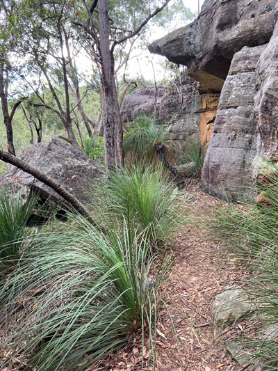
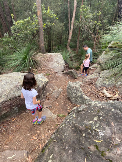
The scenery is beautiful and includes lush forests and sandstone woodland. Kids will love the raised cylinder crossing stepping stones that take you across the river and the overhanging rocks. The track comes with mini challenges including climbing rocks, walking through big boulders, ducking over or under fallen trees and walking on bridges.You might even spot a mini waterfall.
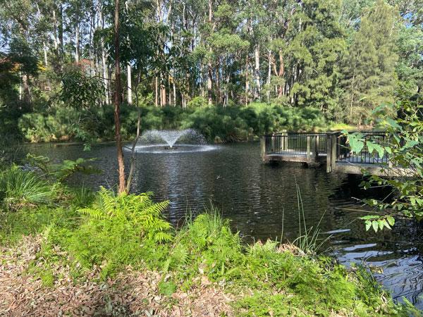
And just when the kids start whinging because they’re tired you reach the beautiful Lakes of Cherrybrook. Nothing like spotting a duck to take their minds off their tired legs!
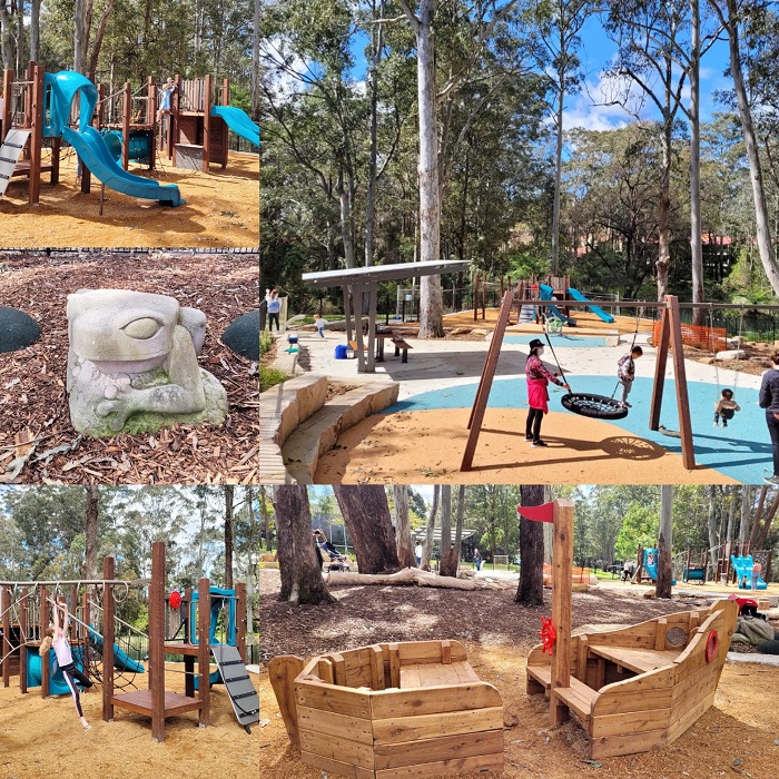
There’s also the recently refurbished playground if they have any energy left!
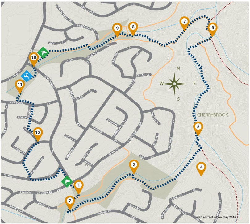
Here’s a high level map from the Hornsby Shire Council. Our tip is to just follow the signs and take a mobile to check you are on the right path using Google Maps. There is one slightly tricky part after you pass a sandstone cave. When we went you see a hammock in the cave and then a big tree down on the path – head down the hill and keep checking on your google maps to ensure you are heading in the right direction.
Enjoy!
If you like to bushwalk with your kids here are some other local suggestions:

